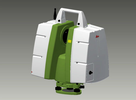
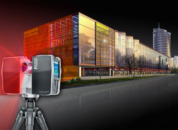
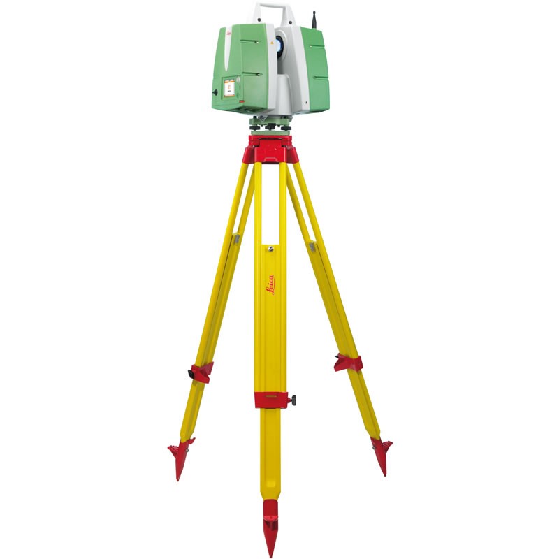
Galaxy Institute of Technologies., offers 3D Laser Scanning services, also known as High Definition Surveying or Reality Capture, as a service to our clients. This process involves the use of a 3D Laser scanner to produce a “Point Cloud” of surfaces, buildings, structures, or other physical features. This 3D point cloud can then be easily attached to all Autodesk design software platforms and many other software packages to use as a basis for creating as-built existing condition drawings and basemaps.
3d Laser scans are quickly becoming the most cost efficient and accurate method of developing as-built conditions of existing structures and surfaces. Days or even weeks of valuable time can be saved by hiring our team to prepare a 3D (three dimensional) point cloud for your next project. Utilizing our point cloud in your software of choice, you can develop 3d models and basemaps that are ready for your designs and decisions in a fraction of the time you are accustomed to. Accurate measurements between any objects within the scan can be quickly determined from your office – minimizing trips to the site and lost production time.


